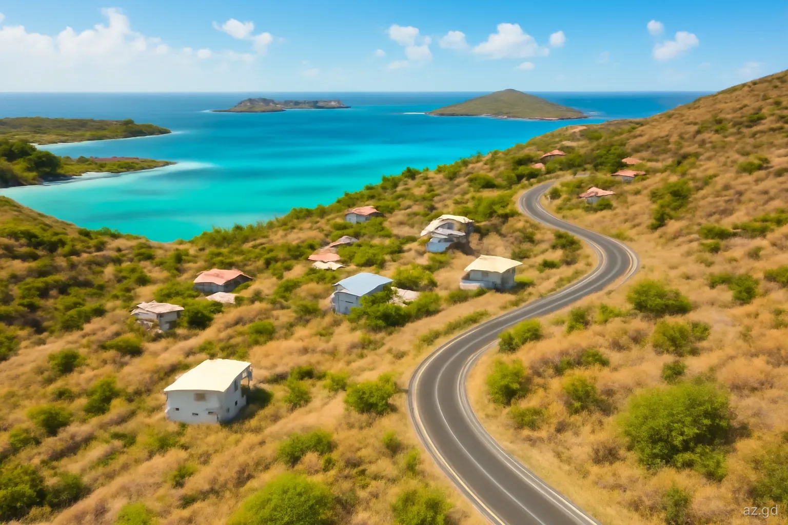
Carriacou is about eleven kilometres long and a few kilometres wide, small enough to drive around in an hour, yet its villages differ more than the distances suggest. The south-west has the yacht anchorage and ferry port; the west coast has the island's best-known beach and its only town; the north is hilly and green, and the north-east looks out to Petite Martinique across a channel once busy with boatbuilders.
Knowing the layout helps you choose where to stay, which bus to take and how to plan days out. It also matters for practical reasons: water, shops and transport are not spread evenly across the island, and some areas are much quieter than others.
This guide works anticlockwise from Hillsborough. Much of the island was damaged by Hurricane Beryl in July 2024, so check that specific businesses and accommodation are operating before relying on them.
Hillsborough and Belair
Hillsborough, on the west coast, is the island's only town and its administrative and commercial centre, with banks, shops, government offices and the bus terminus. Most visitors pass through regularly even if they stay elsewhere, because this is where errands get done.
Directly above the town to the east is Belair, a hillside area with Princess Royal Hospital, older ruins from the colonial era and wide views over Hillsborough Bay and Sandy Island. Belair is cooler and breezier than the coast, and it is worth the climb or short drive for the view alone, particularly in the early morning or late afternoon light.
South of town, on the way to the south-west coast, is Lauriston with the island's airstrip. The area is flat and open, and the short runway runs close to the road, so drivers and walkers should watch for aircraft movements.
The south-west: L'Esterre, Harvey Vale and Tyrrel Bay
L'Esterre. A village on the west coast best known for Paradise Beach, a long stretch of pale sand with calm water facing Sandy Island. It was also the home of Canute Caliste, the self-taught painter whose colourful scenes of island life and legend became known well beyond Carriacou.
Paradise Beach. The island's most popular beach, with shallow, generally calm water and a few bars and food spots. Water taxis run from here to Sandy Island.
Harvey Vale. The village around Tyrrel Bay, with shops, small restaurants and accommodation. Life here follows the rhythm of the yachts and the ferries.
Tyrrel Bay. A large, sheltered bay used as the main anchorage for visiting yachts, with a boatyard and haul-out facility, and the port where the Grenada ferries now arrive. Fuel, provisions and marine services are available nearby.
The Oyster Bed mangroves. Part of the Sandy Island Oyster Bed Marine Protected Area, the mangroves near Tyrrel Bay act as a nursery for marine life and a traditional hurricane shelter for boats.
The north: Bogles, High North and Anse La Roche
North of Hillsborough, the road climbs into the greener, hillier part of the island. Bogles is a quiet village on the north-west side, close to some of Carriacou's most attractive coastline. From the area, footpaths and tracks lead towards Anse La Roche, a secluded beach backed by forest that is reached on foot. The walk takes time and involves rough ground, so wear proper shoes and carry water.
Above Bogles rises High North, which reaches about 290 metres and is the highest point on Carriacou. The surrounding area is protected forest with seasonal dry woodland, birdlife and views across the Grenadines. Trails are not always well maintained; ask locally about current conditions or go with a guide.
This part of the island is sparsely populated, with few shops or services, so stock up before heading out. It rewards those who want quiet beaches and walking rather than bars and restaurants.
The north-east: Windward and Petite Carenage
Windward, on the north-east coast facing Petite Martinique, has long been the island's boatbuilding centre. Craftsmen built wooden sloops and schooners on the beach here by hand, a tradition linked to Scottish settlers and shipwrights, and some of their descendants still live in the village. Wooden boats are still built and repaired here, though in smaller numbers than in the past.
Windward is also the departure point for local boats to Petite Martinique, and the views across the channel to PM and Petit St Vincent are among the best on the island. The village is small, with a few shops and rum shops.
North of Windward lies Petite Carenage, a quiet bay with a beach and mangroves. The bay and its mangroves are valuable wildlife habitat, and turtles have been recorded nesting on beaches in this part of the island. Facilities are minimal, and the beach is best visited during the day with your own supplies.
Choosing where to base yourself
Each part of the island suits a different kind of stay. Match the area to your priorities and transport plans.
- Hillsborough. Best for convenience: banks, shops, buses and offices on the doorstep, with Paradise Beach a short ride away.
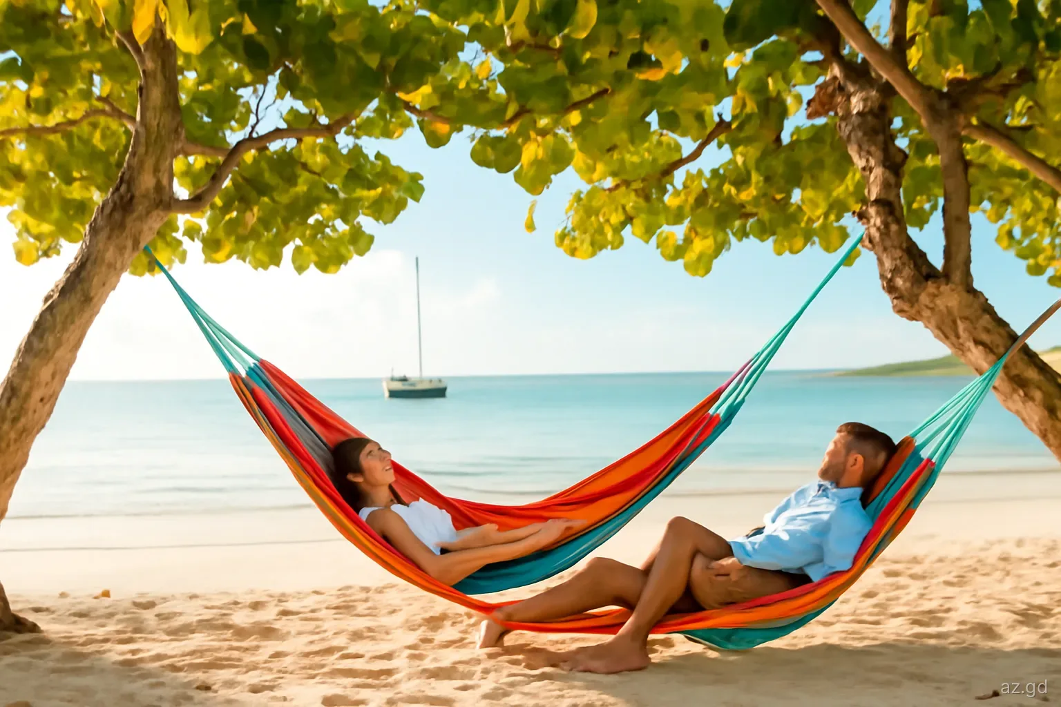
- L'Esterre and Paradise Beach. Best for beach time and swimming, with calm water and easy access to Sandy Island.
- Tyrrel Bay and Harvey Vale. Best for sailors, ferry convenience and a sociable waterfront with restaurants and bars.
- Bogles and the north. Best for quiet, walking and secluded beaches, but a car is almost essential.
- Windward. Best for those interested in boatbuilding and local life, and for trips to Petite Martinique.
- Belair and the hills. Best for breezes and views, though you will rely on transport to reach beaches and shops.
Mistakes people make getting around the island
Carriacou is small, but planning still matters. These are the most common problems.
- Underestimating walking distances. Hills, heat and lack of shade make even a three-kilometre walk tiring. Carry water and avoid midday.
- Relying on evening buses. Minibuses run mainly in daylight. Arrange taxis for evenings, especially from the north.
- Heading to remote beaches unprepared. Anse La Roche and Petite Carenage have no facilities. Bring water, food and shade.
- Assuming everything is open. Hurricane Beryl closed some businesses temporarily or permanently. Check before travelling across the island.
- Ignoring local rules. Parts of the coast and mangroves are protected. Do not anchor, collect shells or disturb nesting sites.
- Trespassing on shortcuts. Some tracks to beaches cross private land and grazing areas. Ask before taking a path that is not obviously public, and close any gates you open.
Distances and travel times
Because Carriacou is so compact, most journeys by car take between ten and twenty minutes. From Hillsborough, Tyrrel Bay and Harvey Vale are roughly a ten to fifteen minute drive south, L'Esterre and Paradise Beach a little less, Bogles a similar distance north, and Windward perhaps fifteen to twenty minutes to the north-east. Lauriston and its airstrip are just a few minutes south of town.
By minibus, journeys take longer because of stops and waits at the terminus, but fares are low and the routes cover the main villages. Taxis are faster and more flexible, especially for remote beaches or evening trips. Walking is pleasant in the early morning and late afternoon, but distances that look short can be tiring on hilly roads in the heat.
Plan your days by area rather than criss-crossing the island. A morning in Hillsborough and Belair, an afternoon at Paradise Beach and Sandy Island, or a day spent in the north around Bogles, High North and Windward makes good use of time and keeps transport costs down.
Frequently asked questions
What are the main villages on Carriacou?
Key settlements include Hillsborough, the only town, plus Belair, Lauriston, L'Esterre, Harvey Vale around Tyrrel Bay, Bogles in the north-west and Windward in the north-east. Each has a different character, from busy waterfronts to quiet hillside communities.
Which part of Carriacou is best for beaches?
The west coast around L'Esterre has Paradise Beach, the island's most popular swimming beach, with calm water and boat trips to Sandy Island. Quieter beaches such as Anse La Roche in the north-west and Petite Carenage in the north-east suit people seeking seclusion.
What is Windward on Carriacou known for?
Windward is known for its tradition of building wooden sloops and schooners by hand, linked to Scottish settlers and shipwrights. It is also the departure point for local boats to Petite Martinique and offers fine views across the channel.
How high is High North on Carriacou?
High North reaches about 290 metres, making it the highest point on Carriacou. The surrounding area is protected forest with walking trails and views across the Grenadines, though paths can be overgrown, so ask locally or go with a guide.
Do you need a car on Carriacou?
Not necessarily. Minibuses and taxis cover the island, and Hillsborough and the west coast are manageable without a car. For staying in the north, exploring remote beaches or travelling in the evening, renting a car makes life much easier.
Where do yachts anchor in Carriacou?
Tyrrel Bay is the main anchorage, with a boatyard, haul-out facilities and services nearby. Hillsborough Bay and other bays are also used, but parts of the coast fall within a marine protected area where anchoring rules apply.