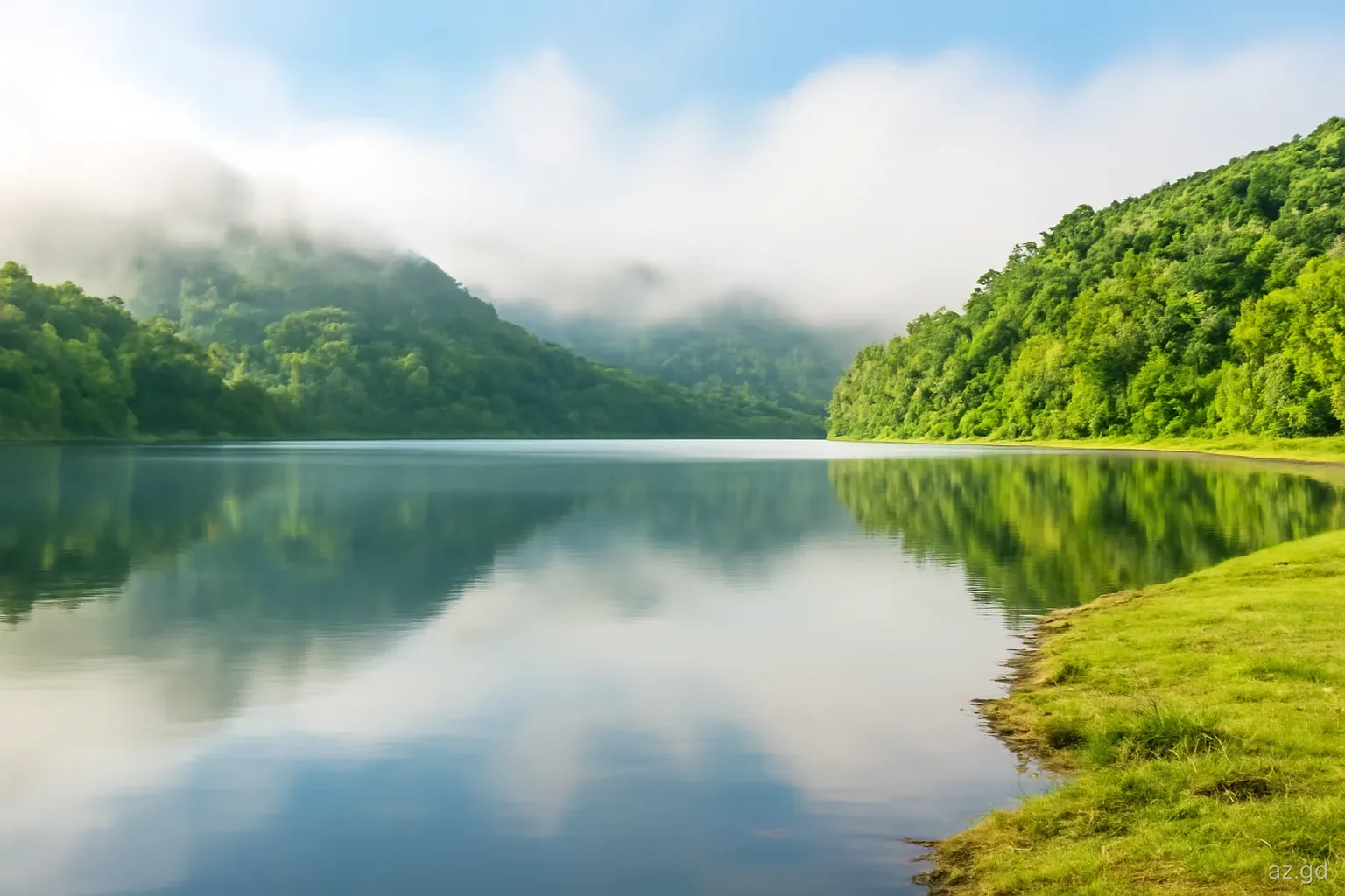
Grenada is only about 34 kilometres long, yet rainfall varies from around 750 millimetres a year on the dry south-western tip near Point Salines to well over 3,500 millimetres in the mountainous interior. That is the difference between a semi-arid landscape of cactus and dry scrub and a rainforest of tree ferns and moss, all within half an hour's drive. A sunny forecast for Grenada may describe the airport while the lake at Grand Etang sits in cloud.
Understanding this geography helps with practical decisions: where to base a holiday, where to buy or rent a home, where to plant a garden, and how to read a weather forecast. It also explains why Carriacou and Petite Martinique feel like a different climate from the main island despite being so close.
The mountains make the rain
The main island is volcanic in origin, with a central ridge running roughly north to south. Its highest point, Mount St Catherine in St Mark, rises to about 840 metres, and Grand Etang Lake lies in an old crater at around 530 metres. The prevailing north-east trade winds carry moist air off the Atlantic and push it up against these heights. As the air rises it cools, its moisture condenses into cloud, and rain falls on the windward slopes and summits.
This orographic rain is why the interior forest reserves of Grand Etang, Mount St Catherine and the headwaters of the Great River, St John's River and other streams are the wettest places in the country, often shrouded in cloud even during the dry season. Temperatures fall with height as well; Grand Etang is noticeably cooler than the coast, which is welcome on a hike but surprising to visitors who arrive in beachwear.
Once the air has crossed the ridge and descends on the western side, it warms and dries. The leeward coast from St George's north through Grand Roy, Gouyave and Victoria is therefore drier than the high interior, though still green, while the far south-west, with no high ground to lift the air, is the driest part of the main island.
Area by area: what to expect
The south-west peninsula. Point Salines, the airport, True Blue, Grand Anse, Morne Rouge and Lance aux Epines receive the least rain on the main island. Showers pass quickly, the dry season is pronounced, and hillsides turn brown by March. This is why most hotels cluster here.
St George's and the south coast bays. The capital and the south coast from Calivigny and Woburn to La Sagesse are moderately dry, a little wetter than Point Salines, with rain falling in brief bursts.
The leeward west coast. From Grand Mal north to Gouyave and Victoria, conditions are warm and moderately wet, with afternoon clouds building over the hills behind. Rivers here run to the sea and can rise fast after inland rain.
The windward east coast. Grenville, Pearls, Telescope and the coast towards Sauteurs face the trade winds directly. They are breezier, greener and wetter, and the sea is rougher.
The interior. Grand Etang, the Mount St Catherine area and the high villages of St Andrew and St John are the wettest and coolest. Mist and drizzle are common at any time of year.
Carriacou and Petite Martinique. Lower and with no high mountain barrier, the sister islands receive much less rain than the interior of the main island and have no permanent rivers. Their landscape is drier and dominated by scrub and dry woodland.
What it means for where to stay or live
For a beach holiday, the south-west's reliable sunshine is the obvious attraction and the reason Grand Anse and Lance aux Epines command higher prices. Rooms and villas higher in the hills behind these areas catch more breeze and slightly more rain, which can make them more comfortable without air conditioning.
People relocating often fall for the lush interior and the east coast, and these areas offer cooler nights and spectacular views. The trade-offs are more humidity, mould on books, shoes and wooden furniture, slippery roads, and occasional landslides on steep access routes. Ask neighbours how the road behaves after heavy rain, look for signs of past slope movement, and check drainage around any house before renting or buying.
Water supply follows the same geography. NAWASA draws much of the main island's supply from rivers and reservoirs fed by the interior, while the dry south can experience scheduled interruptions in long dry spells. On Carriacou and Petite Martinique, rainwater cisterns built under or beside houses and desalination plants have long been central to supply, and a property's cistern size is an important question for anyone staying there.
Carriacou and Petite Martinique: a drier world
Carriacou's highest point, High North in the north of the island, is under 300 metres, and Petite Martinique is smaller still. Without tall mountains to wring moisture from the trade winds, clouds often pass over the sister islands without dropping much rain, and the dry season can be long and harsh. By the end of a dry year, hillsides are grey-brown, livestock graze on sparse grass, and water conservation becomes a daily habit.
This drier climate has shaped island life. Houses traditionally have concrete cisterns collecting roof water, and many households are careful about laundry, gardening and visitor showers in the dry months. Desalination plants supplement supply, and damage to them during Beryl showed how vulnerable the islands are when they fail. Dry woodland, cacti and seasonal ponds support wildlife quite different from the main island's rainforest, and the forested slopes around High North are protected for their wildlife and watershed value.
For visitors, the result is sunny, breezy weather and fewer rainy days than the main island, especially from February to May. Take water seriously: use it sparingly, carry a bottle on walks to Anse La Roche or the High North trails, and expect the scenery to change dramatically between the dry and wet seasons.
Reading Grenada's forecasts with microclimates in mind
Forecasts and weather apps give a single picture for a varied island. A few habits help interpret them:
- Know where the data comes from. Many automated forecasts are based on observations at Maurice Bishop International Airport, which sits in the driest part of the island.
- A percentage chance of rain usually means scattered showers somewhere, not a wet day everywhere. In the south-west it often means a ten-minute shower.
- Watch the hills. Cloud building over the central ridge in the afternoon is a reliable sign that rivers and waterfalls may rise, even if the coast stays sunny.
- Tropical wave days are different. When a wave or trough passes, rain can be widespread and heavy across the whole island, and flood or landslide warnings may be issued.
- Use local bulletins. The Grenada Meteorological Service forecasts, read on local radio and shared by NaDMA, mention flood watches and small-craft advisories that apps leave out.
Mistakes and practical tips
The most common mistake is planning a hike to Grand Etang or the Seven Sisters falls on the basis of a sunny morning in Grand Anse. Take a light waterproof layer and expect mud. Another is assuming a lush hillside garden in the interior will grow the same plants as a dry south-coast yard; bougainvillea and frangipani thrive on the dry coast, while ferns, heliconias and cocoa prefer the wetter interior.
Drivers should remember that the Grand Etang road and coastal roads in the north and east are more exposed to landslides and fallen trees in heavy rain. If you are staying on the east coast, allow extra time to reach the airport after storms. Finally, sun exposure is strongest in the dry south-west and on Carriacou's open beaches, where there is less cloud and less shade, so plan protection accordingly.
Frequently asked questions
What is the driest part of Grenada?
The south-western peninsula around Point Salines, the airport, True Blue and Grand Anse is the driest part of the main island, with annual rainfall often cited at around 750 millimetres at the tip. Carriacou and Petite Martinique are also relatively dry, which is why cisterns are so important there.
What is the wettest part of Grenada?
The mountainous interior, including Grand Etang Forest Reserve and the slopes of Mount St Catherine, is the wettest area, with annual rainfall well over 3,500 millimetres in places. Clouds form as the trade winds rise over the central ridge, so drizzle and mist are common there even in the dry season.
Is Grand Etang cold?
Not cold, but cooler than the coast. At around 530 metres the lake area is several degrees cooler than Grand Anse, often misty and damp. A light long-sleeved layer or rain jacket is useful for hikes, particularly early in the morning or after rain.
Is the east coast of Grenada wetter than the west?
Generally yes. The east and north-east coasts face the moist trade winds and receive more rain, stronger breezes and rougher seas. The west coast lies partly in the shelter of the central mountains and is drier, though still greener than the far south-west.
Why does Carriacou have no rivers?
Carriacou is low, small and lacks the high mountains that force moist air to rise and release heavy rain. Rainfall is lower, the soil drains quickly and streams flow only after heavy showers. Households have traditionally collected rain in cisterns, supplemented by desalinated water.