On a map, Grenada looks tiny: the main island is roughly 34 kilometres from north to south and about 19 kilometres across. On the road it feels much bigger. Mountain ridges run down its spine, the coast is indented by bays and headlands, and almost every route involves climbs, hairpins and villages where traffic slows to walking pace. Journey times are what matter, not distances.
This guide sets out the main routes from St George's and the south-west, where most visitors stay, to the other corners of the island, with realistic driving times in normal conditions and the stops worth making on each. Times assume daylight, dry roads and no long breaks; allow more in rain or at rush hour.
The west coast: St George's to Gouyave and Sauteurs
The Western Main Road leaves St George's past the Grand Mal area and follows the leeward coast north through a string of fishing villages: Happy Hill, Grand Roy, Gouyave and Victoria, before reaching Sauteurs at the northern tip. The road hugs the sea in places and climbs over headlands in others, with views over the Caribbean on one side and steep green valleys on the other.
Allow around 35 to 45 minutes from St George's to Gouyave, the main town of St John, and around an hour to an hour and a quarter to Sauteurs. Traffic is heavier near St George's and in the villages at school times.
Worthwhile stops include the Underwater Sculpture Park boat departure points near Moliniere, Concord Falls, a short drive inland from the coast at Concord, the nutmeg processing station in Gouyave, and the fishing beaches of Victoria. At Sauteurs, Leapers' Hill, also known as Caribs' Leap, marks the cliff where Kalinago people are said to have leapt to their deaths rather than surrender to the French in the 1650s. The Friday fish fry in Gouyave is a popular evening outing; the drive back in the dark needs care.
Over the mountains: the Grand Etang road to Grenville
The Grand Etang road crosses the island's central ridge from St George's to Grenville, the main town on the Atlantic coast. It climbs steadily out of the capital through St Paul's and past Annandale Falls, reaching the Grand Etang Forest Reserve and its crater lake at around 530 metres, before winding down through Birch Grove to the east coast.
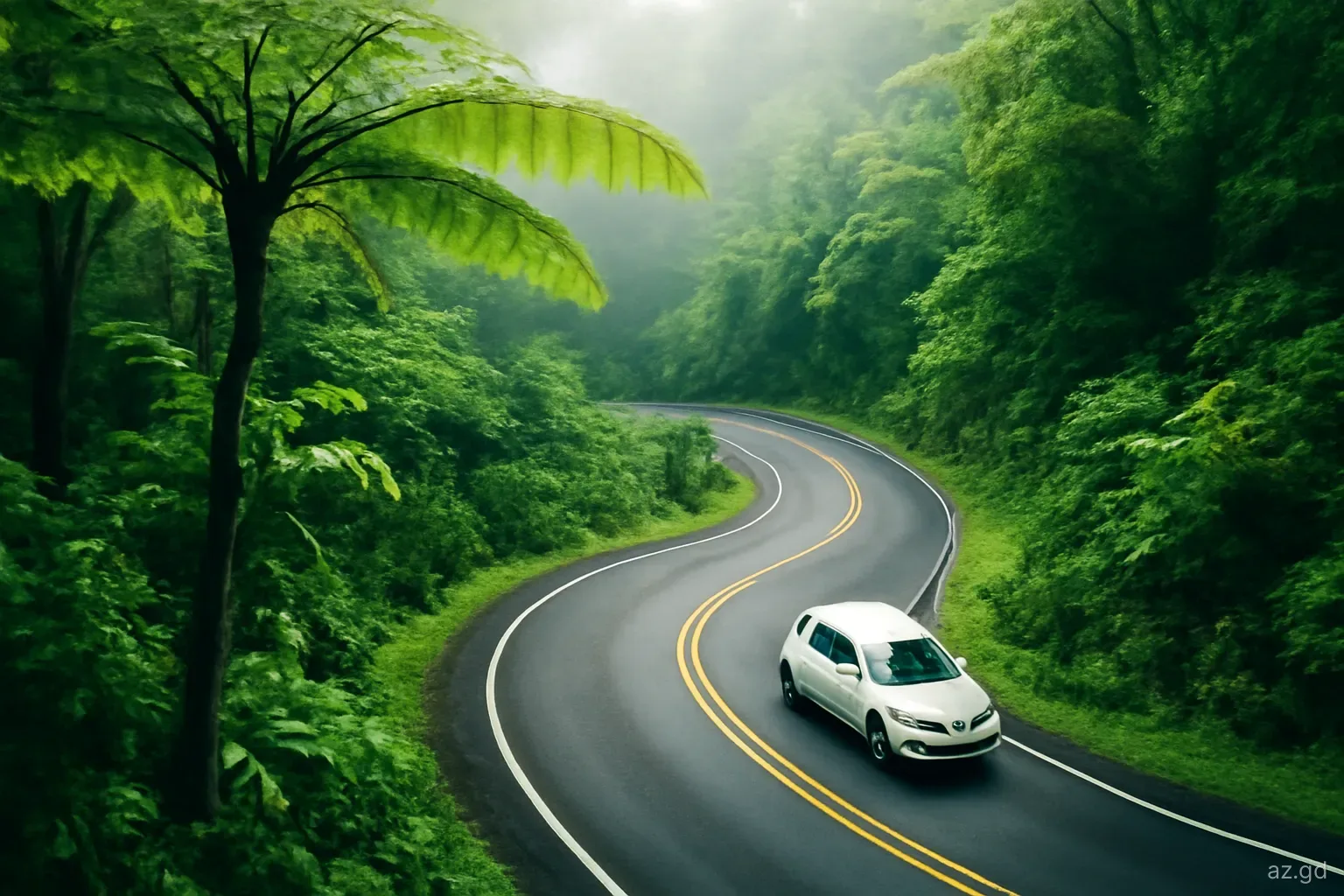
From St George's to Grand Etang Lake takes about 25 to 35 minutes. The full crossing to Grenville takes around an hour. This is the most demanding drive on the island: narrow, steep, tightly curved and often wet, with rain and mist even when the coast is sunny.
Stops include Annandale Falls, the Grand Etang visitor centre and lake, where mona monkeys are often seen, and the trailheads for Seven Sisters waterfalls and Mount Qua Qua. Hikers usually go with a local guide. Drive slowly, use low gears on the descent and watch for buses coming the other way on bends.
The east coast: Grenville to the north-east
Grenville is the hub for the Atlantic side of the island. From there, the road north passes the old Pearls airstrip, the predecessor of today's international airport, and continues through the farming and fishing villages of St Andrew and St Patrick. This side of the island feels quieter and more rural than the south-west, with rougher seas and fewer visitors.
Allow around 30 to 45 minutes from Grenville to the north-east corner, with its attractions clustered close together: the River Antoine rum distillery, still powered by a water wheel, the crater lake at Lake Antoine, Bathway Beach and the Levera area with its pond and coastline. Belmont Estate, a working cocoa plantation with tours and a restaurant, is inland between Grenville and Sauteurs.
A good day trip combines the west coast, Sauteurs, the north-east sights and a return over the Grand Etang road or via the south-east coast. It is a long day, so start early.
The south-east coast and the southern peninsulas
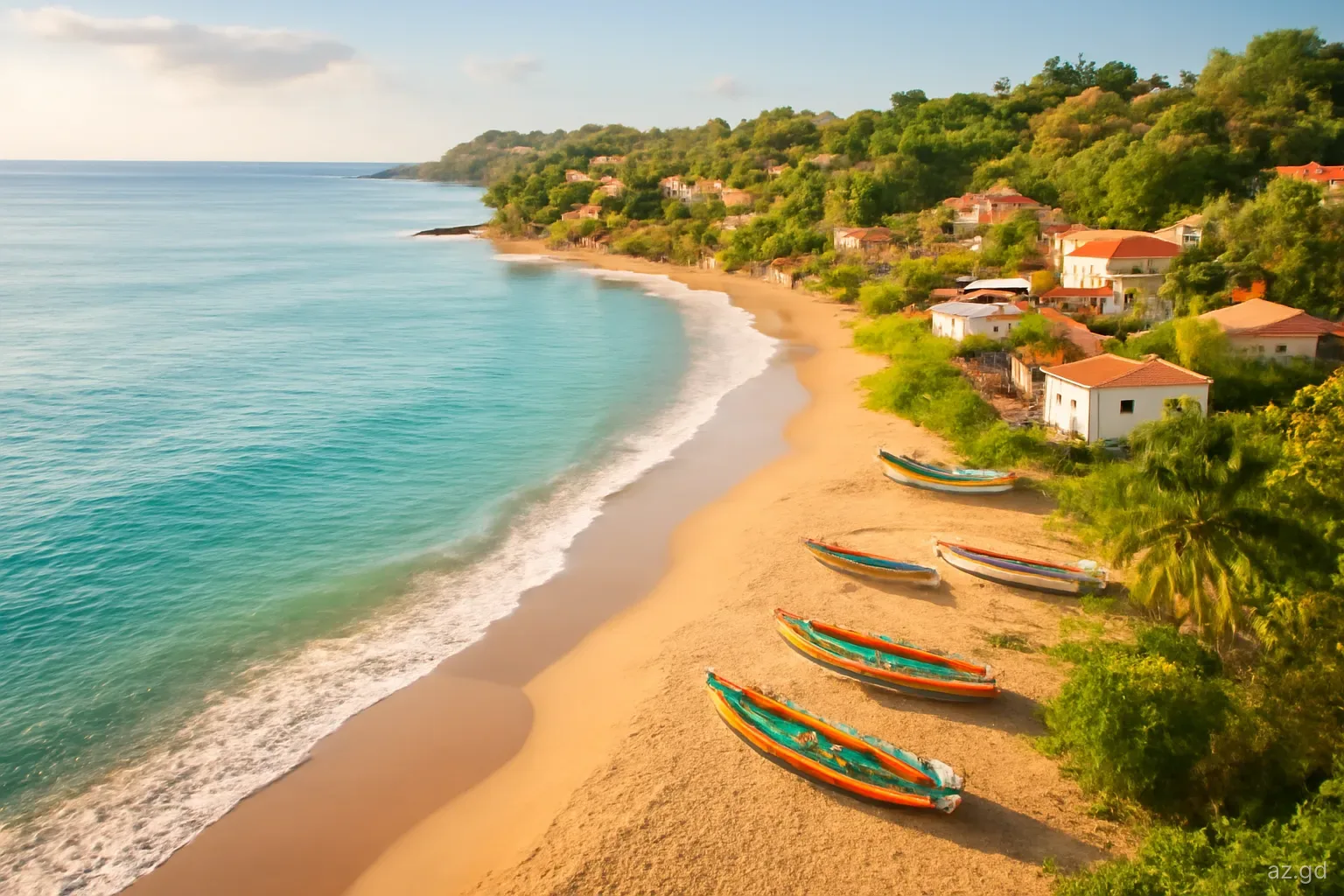
East of the airport and Grand Anse, the south coast is a succession of peninsulas and bays: Lance aux Epines, Woburn, Calivigny, Egmont, Westerhall and St David's. Much of this area is residential, with villas, marinas and quiet beaches, and roads branch off the main route down each peninsula.
From St George's, the main road east passes through Woburn and continues towards St David's and the La Sagesse area in about 30 to 40 minutes. From there the road follows the south-east coast north through Marquis to Grenville, taking around an hour or more from St George's in total.
Stops include La Sagesse Beach and nature area, the marinas around the south coast bays, and the Westerhall rum distillery area. The road is narrow in places, with steep sections near the bays, so allow time and avoid rush hours near the capital.
Because many of the roads down the peninsulas are dead ends, it is easy to spend longer than planned driving in and out of them. Pick one or two and enjoy them rather than trying to visit every bay.
Journey times at a glance
Approximate driving times from St George's in normal daytime conditions, without long stops. Add time for rain, heavy traffic, school hours and any stops. From Grand Anse or the airport area, add roughly ten to twenty minutes to the times for destinations north of the capital, since the route passes through St George's.
- Grand Anse and Morne Rouge: 10 to 20 minutes.
- Maurice Bishop International Airport: 20 to 30 minutes.
- Lance aux Epines and True Blue: 20 to 30 minutes.
- Annandale Falls: 15 to 20 minutes.
- Grand Etang Lake: 25 to 35 minutes.
- Concord Falls: 25 to 35 minutes.
- Gouyave: 35 to 45 minutes.
- La Sagesse and St David's: 30 to 40 minutes.
- Grenville: around an hour by either route.
- Sauteurs: an hour to an hour and a quarter.
- Belmont Estate, River Antoine or Bathway Beach: an hour and a quarter to an hour and a half.
Three day trips that combine routes
West coast and the far north. Drive up the Western Main Road with stops at Concord Falls and Gouyave, lunch near Sauteurs, then cross to the north-east for River Antoine, Lake Antoine and Bathway Beach. Return over the Grand Etang road if there is daylight left, or via Grenville and the south-east coast.
Mountains and the Atlantic side. Cross the island via Annandale Falls and Grand Etang, continue to Grenville for its market and waterfront, visit Belmont Estate for lunch and a cocoa tour, and return by the same road or the south-east coast.
The south-east bays. A shorter day: explore the peninsulas around Woburn and Westerhall, swim at La Sagesse, and return to the south-west in time for a late afternoon on Grand Anse. Ideal for a first day of driving to get used to the roads.
Planning tips and pitfalls
Do not try to see the whole island in one day. A full loop is possible, but with stops it is a long, tiring day of mountain driving. Most people get more from two or three shorter trips.
Start early. Morning light is best for photographs, roads are quieter after the school rush, and you will be back before dark. Darkness falls around six to half past six all year.
Allow for rush hour around St George's. The Lagoon Road and the approaches to town are congested in the early morning, at lunchtime and from late afternoon. Plan departures and returns around them.
Carry cash and water. Many rural stops, from waterfalls to roadside fruit stalls, are cash only. Facilities can be limited outside towns.
Check opening times. Distilleries, estates and visitor centres keep their own hours, and some close on Sundays or public holidays. Confirm before setting out.
Frequently asked questions
How long does it take to drive around Grenada?
A full loop of the main island takes about four to five hours of driving without stops, but in practice it fills a whole day once you add stops at waterfalls, estates and beaches. Many visitors split it into two or three shorter road trips.
How long is the drive from St George's to Grenville?
About an hour, either over the mountains via the Grand Etang road or along the south-east coast via St David's. The mountain route is shorter but slower and more demanding, especially in rain.
How far is Sauteurs from St George's?
Sauteurs, at the northern tip of the island, takes around an hour to an hour and a quarter by car along the west coast road through Gouyave and Victoria. Route 5 buses cover the same journey more slowly.
What is the best road trip in Grenada for a first-time visitor?
A half-day trip over the Grand Etang road to the crater lake and Annandale Falls, or a west coast drive to Gouyave and Concord Falls, gives a good introduction. Both are within an hour of St George's and the main hotel areas.
Can you drive from Grenada to Carriacou?
No. Carriacou is a separate island to the north-east of the main island, across open sea. Travel is by the inter-island ferry from St George's or a short flight to Lauriston Airport. Visitors rent cars or use taxis and minibuses once there.