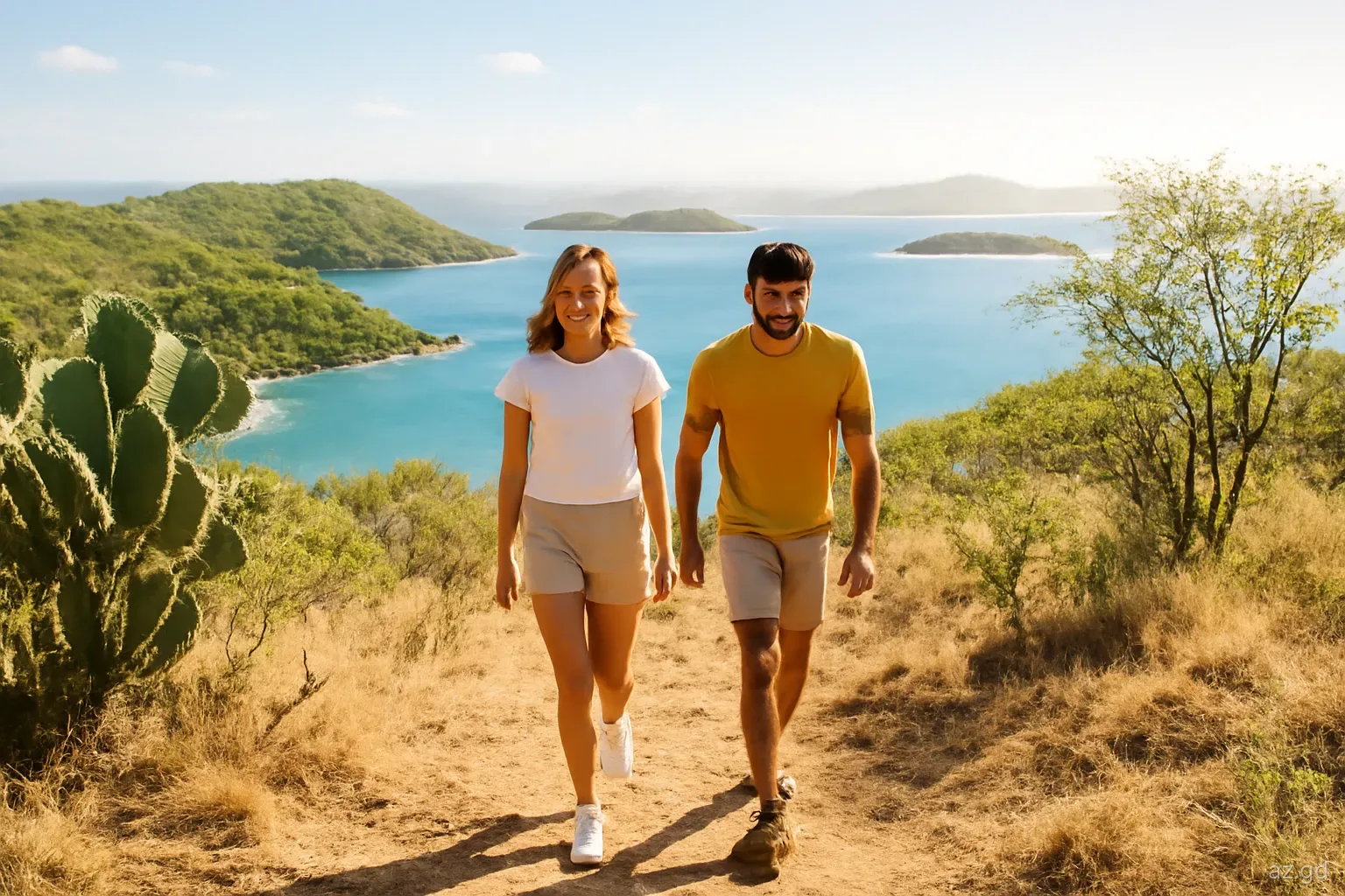
Carriacou is not a rainforest island. It is low, dry and windswept, with cactus, thorny scrub and dry forest on its hills and views over the Grenadines in every direction. That makes hiking here a different experience from Grand Etang: no mud to speak of, plenty of sun, short distances and a landscape where you can see where you are going for most of the walk.
The highlights are High North Peak, the island's highest point at about 291 metres (around 955 feet), the walk down to the secluded beach at Anse La Roche, the unmarked climb to Chapeau Carré and quiet coastal routes between villages. Petite Martinique adds a steep little circuit of its own. This guide covers what each walk involves and how to plan around the heat.
High North National Park and High North Peak
High North National Park covers the hilly north of Carriacou: dry forest, scrub, rocky coast and the island's highest summit. High North Peak rises to roughly 291 metres. Published figures vary slightly, and older surveys gave a higher number. From the top on a clear day you can see the Grenadines strung out to the north, Petite Martinique and Petit St Vincent to the east and Grenada's mountains to the south.
Walks into the park usually start from the road north of Hillsborough, with trails climbing through dry woodland. The ascent is moderate rather than hard: a steady uphill on rocky paths, with a few steeper sections near the top. Most reasonably fit walkers reach the summit in an hour or so from the trailhead, though times depend on where you start and how often you stop for the view.
Trails are not always well marked, and some junctions with farm and goat tracks can confuse. Ask locally about the current route, carry a downloaded offline route as a backup, and turn back if the path becomes unclear.
The vegetation is part of the interest. Dry forest here includes gnarled, drought-adapted trees that drop their leaves in the dry season, columnar and prickly pear cacti on the more exposed slopes, and patches of greener woodland in sheltered gullies. Hurricane Beryl stripped much of the canopy in 2024, so for some years the hills will look more open than older photographs suggest, and there is less shade on the paths than there used to be.
Down to Anse La Roche
The walk. A track descends from the road through High North to Anse La Roche, a beautiful, secluded bay on the north-west coast. Allow around half an hour each way, more on the way back because it is uphill.
Terrain. Rocky and uneven, with loose stones in places and little shade. Wear proper shoes, not flip-flops.
At the beach. Golden sand, clear water and views towards Union Island. There are no facilities, so bring water, food and shade, and take your rubbish back up.
Combining walks. Fit walkers often combine High North Peak with Anse La Roche in one outing, starting early and finishing with a swim. Plan your water carefully, as there is nowhere to refill.
Swimming. Swim only when the sea is clearly calm, as the bay is exposed to winter swells and there is nobody around to help if you get into trouble.
Chapeau Carré and the south
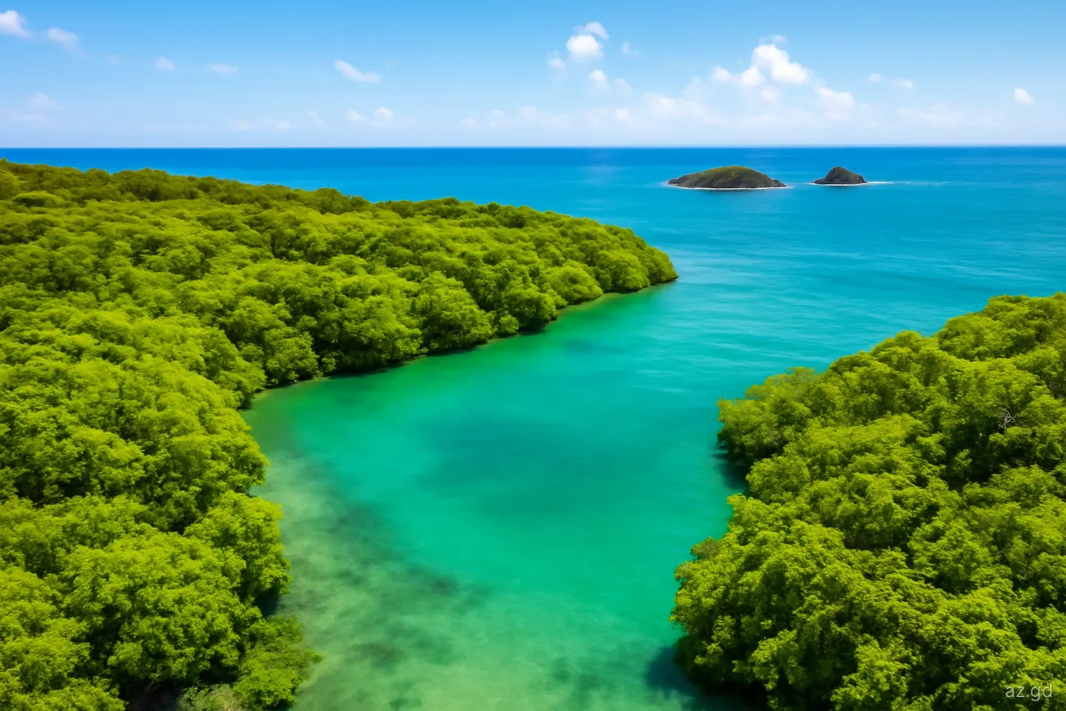
Chapeau Carré is Carriacou's second-highest hill, rising above the south-west of the island near Tyrrel Bay. A loop walk from the Tyrrel Bay area climbs its northern side and descends through dry woodland and farmland with views over the bay, the mangroves and the islands to the south. The section to the summit is not marked or well maintained, and it can be overgrown, so go with someone who knows it or allow time for route-finding.
The south of the island also has gentler walking along roads and tracks: from Tyrrel Bay towards the edge of the mangroves at the Oyster Bed, and along the coast towards the southern point with views to Saline and White Islands. The mangrove lagoon is protected and is best seen from the shoreline or by kayak rather than by walking into it.
Wherever you walk in the south, expect sun and wind rather than forest shade. The breeze keeps you cool and masks how strongly the sun is burning.
Coastal walks and village routes
Some of the most enjoyable walking on Carriacou is simply walking between places, on quiet roads and tracks:
- Hillsborough to L'Esterre and Paradise Beach. A flat coastal walk past the airport, ending at a swim and lunch.
- Windward and the north-east coast. The boatbuilding village of Windward and the coast towards Petite Carenage, with views across to Petite Martinique.
- Belair. The hilltop area above Hillsborough, with ruins of an old estate and windmill and wide views; a short walk up from town.
- Tyrrel Bay to Harvey Vale. An easy stroll around the bay with boatyards, fishing boats and waterfront eating places.
- Village loops. Small roads linking villages such as Bogles, Mount Pleasant and Dover pass farms, churches and old stone buildings.
- Shoreline sections. Many beaches link at low tide or by short paths over headlands; check that the route back is still passable as the tide rises.
Petite Martinique: a short, steep circuit
Petite Martinique is small enough to walk around in a few hours. The coastal road links the main settlement and jetty with the rest of the island, giving views to Petit St Vincent, Carriacou and the islands beyond. The central hill, known locally as the Piton, rises steeply above the village and can be climbed on paths through scrub and pasture, with a wide view from the top as the reward.
There are few marked trails, so ask residents about the best way up and whether paths are clear. The island is close-knit, and people are generally happy to point visitors in the right direction. Bring water and cash for a drink in the village, cover up away from the shore, and check the time of the last boat back to Carriacou before you start walking.
Petite Martinique, like Carriacou, was hit hard by Hurricane Beryl in 2024. Some areas may still show storm damage, and vegetation is recovering. Be considerate when walking through residential areas.
Heat, water and other practicalities
Start early. Aim to be walking by 7am. By late morning the sun on exposed hillsides is intense, and many walks have almost no shade, especially since Beryl stripped vegetation.
Carry water. At least one and a half to two litres per person for High North or Chapeau Carré. Shops are in the villages, not on the trails.
Cover up. A wide-brimmed hat, sunglasses, long sleeves and sunscreen. The breeze hides sunburn until it is too late.
Watch for wildlife. Red-footed tortoises, iguanas, hermit crabs and many birds live in the dry forest. Do not pick up tortoises or take them away; they are protected and sometimes illegally collected.
Transport. Buses on Carriacou are limited, so arrange a taxi to the trailhead and a pick-up time, or plan a walk that ends in a village.
Emergencies. Carriacou has a hospital, Princess Royal Hospital, in the Belair area above Hillsborough. In an emergency call 911.
Frequently asked questions
What is the highest point on Carriacou?
High North Peak, in the High North National Park in the north of the island, at roughly 291 metres or about 955 feet. Published heights vary slightly. On a clear day the summit gives views over the Grenadines, Petite Martinique and south towards mainland Grenada.
How long does it take to hike High North Peak?
Most reasonably fit walkers reach the summit in about an hour from the usual trailheads north of Hillsborough, and take a bit less to come down. Add time if you combine it with the walk to Anse La Roche. Start early to avoid the midday heat.
Do you need a guide to hike on Carriacou?
Most walks, including High North Peak and Anse La Roche, can be done independently with local directions and an offline route. A guide or local companion is helpful for Chapeau Carré, where the trail is unmarked, and for anyone who wants to learn about the island's plants and history.
When is the best time to hike on Carriacou?
Early mornings at any time of year are best for heat. The cooler, breezier months from December to March are most comfortable, while the dry season makes for brown landscapes but firm paths. In the rainy season, paths can become slippery and overgrown.
Can you hike on Petite Martinique?
Yes. You can walk the coastal road around much of the island and climb the central hill, known locally as the Piton, on paths through scrub and pasture. Trails are informal, so ask residents for directions and check the last boat back to Carriacou.
What wildlife might you see hiking on Carriacou?
Red-footed tortoises, iguanas, lizards, hermit crabs and a variety of birds, including hummingbirds and seabirds along the coast. The mangroves at Tyrrel Bay are home to oysters, crabs and herons. Do not handle or remove any animals.