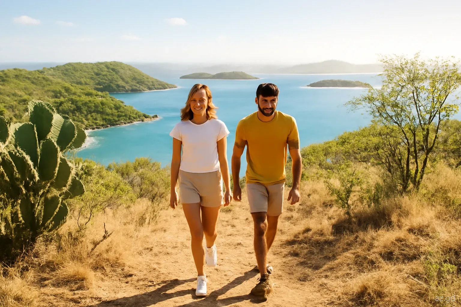
For a small country, Grenada has a long list of protected places: forest reserves on the mountains, national parks on the coast, sanctuaries for a single endangered bird, crater lakes, mangroves and marine protected areas around the reefs. Visitors meet them constantly without always realising it, paying a fee at Grand Etang, being asked to stay off Levera Beach at night or picking up a mooring in Carriacou.
This guide explains the main types of protected area, the sites that matter most for visitors, who manages them, what the rules mean in practice and where to get current information. It is an overview rather than a legal reference; for precise boundaries or regulations, consult the managing agency.
Who manages what
Responsibility is split between several bodies. On land, the Forestry and National Parks Department, part of the ministry responsible for agriculture and lands, manages forest reserves, national parks and wildlife protection, and runs visitor facilities such as the Grand Etang visitor centre. Its staff include forest rangers and wardens who patrol reserves.
At sea, the Fisheries Division oversees marine protected areas, fishing regulations and turtle protection, working with MPA managers and rangers on the water. Coastal development and building near the shore fall under the Physical Planning Unit and coastal zone legislation, including the Integrated Coastal Zone Management Act of 2019.
Non-governmental organisations also play a large part, especially in turtle monitoring, reef restoration, bird surveys and education. Many protected areas are co-managed in practice, with community groups, tour operators and fishers involved alongside government staff. This means the people you meet at a site may be volunteers or community members rather than officials.
How visitors and residents can help
Protected areas in Grenada depend heavily on volunteers and community support. Beach clean-ups are held regularly, particularly on the Atlantic coast where plastic washes ashore, and often welcome visitors for a morning. Turtle monitoring groups have relied on volunteers to patrol nesting beaches at night during the season, recording nests and protecting hatchlings, usually after training.
Reef and mangrove restoration projects, some run with dive operators, have involved planting mangrove seedlings and growing coral fragments in nurseries before transplanting them to damaged reefs. Birding groups take part in counts that track species such as the Grenada dove.
If you want to take part, ask your accommodation, dive operator or the Forestry and National Parks Department which groups are active during your stay. Even without volunteering, choosing operators that use moorings, follow MPA rules and brief guests on reef etiquette supports the same goals.
The main land-based protected areas
Grand Etang Forest Reserve and National Park. The largest and best-known protected area, covering the central mountains, rainforest, the crater lake and important water catchments. It has the main visitor centre and marked trails.
Mount St Catherine Forest Reserve. Protects the forested upper slopes of the island's highest mountain in the north. There are no visitor facilities; access is by rough trails.
Levera National Park. On the north-east tip in St Patrick, taking in Levera Beach, a large mangrove-fringed pond, coastal woodland and nearby islands. A key site for nesting leatherback turtles and wetland birds.
Mount Hartman National Park. Dry forest in the south of St George, declared in the 1990s to protect the Grenada dove. Its boundaries and the surrounding land have been the subject of development debates over the years.
Perseverance Dove Sanctuary. A second protected area for the Grenada dove, on the west coast.
Lake Antoine. A shallow crater lake in St Patrick, protected as a natural landmark and important for waterbirds.
High North National Park. On Carriacou, protecting dry forest around the island's highest point and the coastline including Anse La Roche.
Marine protected areas
Grenada has several marine protected areas, or MPAs, designed to protect reefs, seagrass beds and mangroves and the fisheries that depend on them. The best known to visitors is the Molinere–Beausejour MPA on the west coast north of St George's, which includes popular snorkelling and dive sites and the underwater sculpture park. In the south, the Woburn and Clarke's Court Bay area is protected for its mangroves, seagrass and reef, and is important to local fishing communities.
Around Carriacou, the Sandy Island Oyster Bed MPA covers Sandy Island and its reefs, the coast near L'Esterre and the mangrove lagoon at Tyrrel Bay, where mangrove oysters grow on the roots. Rangers patrol by boat, and yachts must use mooring buoys rather than anchor in protected zones.
In MPAs, the common rules are no anchoring on reef or seagrass where moorings are provided, no fishing or restricted fishing in core zones, no collecting of shells, coral or marine life, and no touching or standing on coral. User fees are typically collected through dive and snorkel operators or directly from yachts by rangers.
Mangroves and wetlands
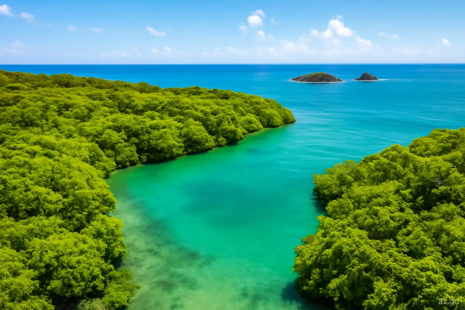
Mangroves are among Grenada's most valuable and threatened habitats. They shelter juvenile fish, filter runoff before it reaches reefs, protect shorelines from storm surge and store large amounts of carbon. Important stands are found at Levera, around La Sagesse, in the bays of the south coast including Woburn, and in Carriacou at Tyrrel Bay and elsewhere.
Many have been reduced by coastal development, dumping and storms. The mangroves at Tyrrel Bay are a well-known hurricane refuge for boats, and they suffered serious damage when Hurricane Beryl struck Carriacou in July 2024, with many vessels driven into them. Restoration projects have been under way at several sites. For visitors, mangroves are best appreciated by kayak or from the edge, quietly and without cutting or trampling the roots.
What the rules mean for visitors
Most rules are common sense, but they are enforced, and some carry fines. In practice:
- Pay entrance and user fees. Fees at Grand Etang, MPA user fees and mooring fees fund rangers and maintenance. Keep receipts or tags.
- Stay on trails. Going off-trail damages vegetation and makes erosion worse on steep slopes.
- Take nothing, leave nothing. Do not collect plants, shells, coral, sand or animals, and carry out all rubbish.
- No fires except where allowed. Dry forest areas such as Mount Hartman and High North burn easily in the dry season.
- Respect seasonal closures. Levera Beach is restricted at night during the leatherback season, broadly March to August.
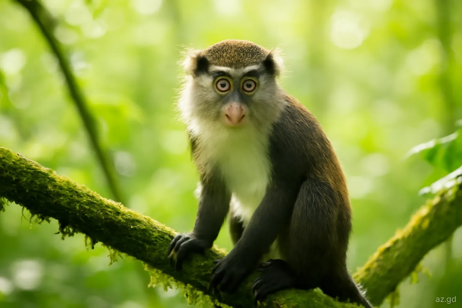
- Do not feed wildlife. This includes monkeys at Grand Etang and fish in MPAs.
- Fly drones only with permission. Drone use in Grenada is regulated, and flying over wildlife or near the airport without authorisation is prohibited.
Pitfalls and where to check
The biggest pitfall is assuming that what you read online is current. Protected area boundaries, fees and visitor arrangements change, and some sites described in older guides have been affected by development or storms. Facilities at Grand Etang have opened and closed at different hours, tour arrangements at Levera have varied from year to year, and trail access at Mount Hartman has changed more than once.
Before a visit that depends on access or a particular facility, check with the Forestry and National Parks Department for land sites, the Fisheries Division or your dive operator for marine areas, and local conservation groups for turtle watching. Your accommodation or a licensed guide will usually know the current position. Keep plans flexible, and if a site is closed, there is almost always an alternative nearby.
Frequently asked questions
How many national parks does Grenada have?
Grenada has several areas designated as national parks, including Grand Etang, Levera, Mount Hartman and High North on Carriacou, alongside forest reserves, sanctuaries and marine protected areas. The exact count depends on how categories are defined, and new designations are made periodically, so check with the Forestry and National Parks Department.
Who runs national parks in Grenada?
Land-based parks and forest reserves are managed by the Forestry and National Parks Department. Marine protected areas fall under the Fisheries Division, often with co-management by community groups and rangers. Conservation organisations support turtle monitoring, reef restoration and bird surveys.
Do you have to pay to visit protected areas in Grenada?
Some charge fees, such as the visitor fee at Grand Etang and user fees in marine protected areas, which are usually collected through dive and snorkel operators or from yachts by rangers. Many other protected areas have no entrance charge. Fees change, so confirm locally.
What is a marine protected area in Grenada?
An area of sea and coast designated to protect reefs, seagrass, mangroves and fish stocks. Examples include Molinere–Beausejour on the west coast and Sandy Island Oyster Bed around Carriacou. Rules typically restrict anchoring, fishing and collecting, and user fees support rangers.
Can you fly a drone in Grenada's national parks?
Drone use is regulated in Grenada, and you should obtain the necessary permission from the civil aviation authorities before flying. Avoid flying over wildlife, nesting beaches and crowds, and never near the airport. Some protected areas may require additional consent from their managers.