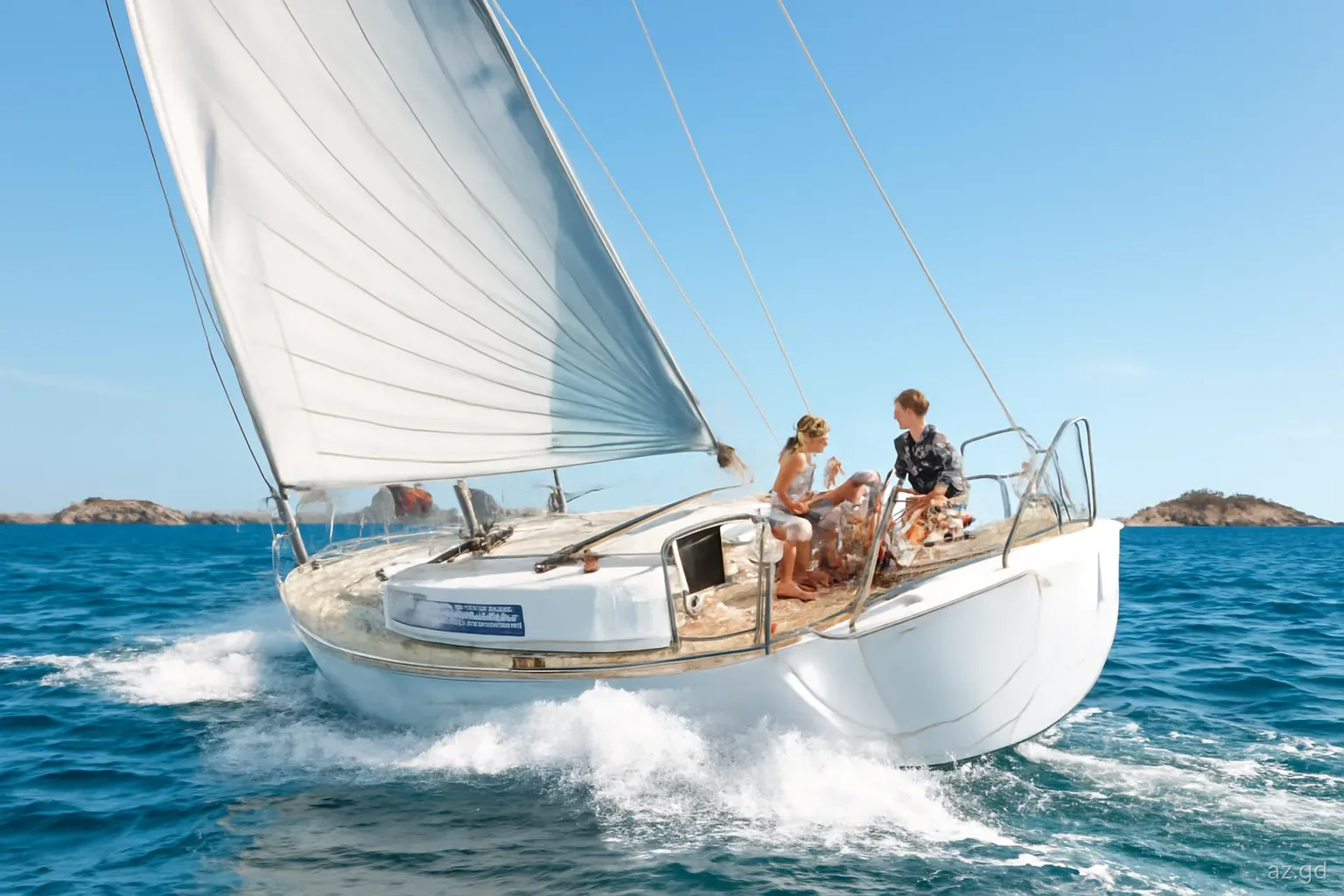
The passage from Grenada to Carriacou is short on paper and often harder than expected in practice. You spend the first few hours in the lee of the island, dealing with flukey winds and gusts off the hills, then round the northern tip into the full trade wind, a lumpy sea and a current pushing you west. In between lies Kick 'em Jenny, an active submarine volcano with an exclusion zone every vessel must respect.
None of this makes the trip dangerous for a well-found boat and a prepared crew. It simply rewards planning: the right departure time, a sensible course around the volcano zone, and realistic expectations of speed and comfort. These notes cover the passage northbound, the easier return, and arrival in Carriacou.
Distance and the shape of the passage
From St George's to Tyrrel Bay is roughly 30 to 35 nautical miles; from the south-coast bays, add another 8 to 10 miles to round Point Salines and reach the west coast. For most cruising yachts, that is a full day northbound and a shorter one coming back.
The first section runs up Grenada's leeward west coast, past Grand Mal, Halifax Harbour, Gouyave and Victoria to the northern tip near Sauteurs. The high ground of the island blocks the trade wind, so the breeze is light and shifting, with sudden gusts funnelling down the valleys. Many boats motor or motor-sail this stretch.
Beyond the north coast, the wind fills in from the east or north-east, often 15 to 20 knots and more in the winter months, and the sea builds. The course to Carriacou runs roughly north-north-east, which puts the wind forward of the beam for most boats. The open stretch to Carriacou passes the scattered islets north of Grenada, including Ronde and Caille, before Carriacou's hills come up ahead.
Wind, sea and current
The current sets west. The equatorial current runs westward through the islands, often at one knot or more and stronger at times. Northbound, it pushes you to leeward of your course, so aim higher than the rhumb line and check your track regularly.
Wind against current. When the tide-driven flow between the islands opposes the trade wind, the sea becomes short and steep. Expect spray in the cockpit and a slower passage than distance alone suggests.
Winter trades are stronger. From December to March, the Christmas winds can bring 20 to 25 knots and a rough channel. Many crews wait a day for a lighter forecast rather than bash north.
Squalls. Rain squalls pass through regularly, especially in the wet season, bringing a short burst of stronger wind and reduced visibility. Reef early when you see a dark line approaching.
The return is easier. Southbound, the wind is usually on or behind the beam and the passage is faster and more comfortable, though following seas can be large when the trades are strong.
Kick 'em Jenny and the exclusion zone
Kick 'em Jenny is an active submarine volcano north of Grenada, on the route to Carriacou. Its summit lies well below the surface, but it has erupted repeatedly in recorded history, and gas escaping from it can reduce the density of the water enough to affect a vessel's buoyancy even when there is no eruption.
Grenada's National Disaster Management Agency (NaDMA), advised by the University of the West Indies Seismic Research Centre, sets an alert level and the corresponding exclusion zone. At the yellow level, the permanent exclusion zone is 1.5 kilometres around the summit, and the marine community has been advised to observe a 5-kilometre zone as a precaution. At the orange level, the mandatory zone is 5 kilometres, and larger restrictions apply at higher levels.
Before you leave, check the current alert level with NaDMA or the Seismic Research Centre, plot the volcano's published position on your chart and draw the zone around it. Then plan a course that stays clearly outside, allowing for the westward current. If you feel unusual vibration, see bubbling or discoloured water or smell sulphur, leave the area immediately.
Planning the passage north
A simple routine makes the passage predictable.
- Check the forecast for wind strength and sea state in the channel, not just at Grenada. A day with trades under 18 knots is markedly more comfortable.
- Confirm the Kick 'em Jenny alert level and plot the exclusion zone.
- Leave early, ideally at first light, so you cover the west coast in the calm of the morning and arrive in Tyrrel Bay with good light for anchoring.
- Stow everything below and secure the dinghy on deck or on davits; towing it across the channel risks swamping or losing it.
- Reef before rounding the north of Grenada rather than in the gusts afterwards.
- Take seasickness medication before departure if anyone in the crew is prone to it; it works far better taken in calm water than once the boat is pitching in the channel. Prepare food and drinks in advance so nobody has to work below in the rough stretch.
- Monitor VHF 16, and keep a lookout for local fishing boats, the inter-island ferries and fish pots near the coast.
- Have a fallback. If conditions are worse than expected at the north tip, Grand Mal or Halifax Harbour on the west coast make a reasonable place to wait.
Southbound: the trip back to Grenada
The return is the reward for the slog north. With the trade wind on the beam or quarter, most boats sail the whole way at a good speed, and the westward current is less of a nuisance because you are steering across rather than against it. Keep the same respect for the volcano zone: in a following sea with the boat surfing, it is easy to drift down towards it without noticing, so check your position regularly.
Once past the north coast of Grenada you drop back into the island's wind shadow, and the sails that were pulling hard a few minutes earlier may slat in the swell. Expect to motor part of the way down the west coast, and watch for the sudden gusts off the hills that can knock a boat flat under full sail.
Crews heading for the south-coast bays should plan to round Point Salines and enter the reef-lined bays with good light. Leaving Carriacou early gets you there by mid-afternoon; arriving at dusk is when most entrance mishaps happen.
Arriving in Carriacou, and continuing north
Tyrrel Bay is the usual landfall: wide, sheltered and with good holding. Hillsborough, further north up the west coast, is the island's main town and offers an open anchorage off the jetty. If you are only visiting Carriacou, there is no need to clear customs, because Grenada, Carriacou and Petite Martinique are one country and your Grenada cruising permit covers you. Keep your papers to hand; the Coast Guard does carry out checks.
If you are continuing north into St Vincent and the Grenadines, clear out of Grenada at Tyrrel Bay (check the office is open), then clear in on the other side, usually at Clifton on Union Island, a short sail of a few miles. Petite Martinique has no clearance facilities. Remember that clearing out gives you a limited window to depart, usually 24 hours.
Inside Carriacou's waters, part of the coast falls within the Sandy Island Oyster Bed Marine Protected Area. Anchoring is restricted in places, and moorings with fees are provided at Sandy Island.
Frequently asked questions
How long does it take to sail from Grenada to Carriacou?
Most cruising yachts take six to nine hours from St George's to Tyrrel Bay northbound, depending on wind, sea state and how much of the west coast they motor. The return southbound is usually faster because the wind is on or behind the beam.
Is the Grenada to Carriacou passage rough?
It can be. The stretch north of Grenada is exposed to the trade winds and a westward current, and wind against current builds short, steep seas. In winter trades of 20 knots or more it is uncomfortable but routine. Picking a lighter day makes a big difference.
What is the Kick 'em Jenny exclusion zone?
An area around the submarine volcano that vessels must avoid, set by NaDMA according to the alert level. At yellow, it is 1.5 kilometres around the summit, with mariners advised to keep 5 kilometres away as a precaution; at orange, 5 kilometres is mandatory. Check the current level before sailing.
Do you need to clear customs in Carriacou?
Not when arriving from mainland Grenada, because both are part of the same country. You clear in at Carriacou only when arriving from abroad, for example from Union Island, and clear out there when leaving for St Vincent and the Grenadines.
Can you take the ferry instead of sailing?
Yes. A fast ferry runs between St George's and Carriacou, docking at Tyrrel Bay rather than Hillsborough since Hurricane Beryl (confirm when booking), taking roughly 90 minutes to two hours, and small planes fly between the two islands. Some crews send non-sailors by ferry while the boat makes the passage.
Where can you stop on the way north?
There are few good anchorages beyond St George's. Grand Mal and Halifax Harbour on the west coast are possible stops or bolt-holes if conditions at the north tip are worse than forecast. North of Gouyave, most boats keep going to Carriacou.