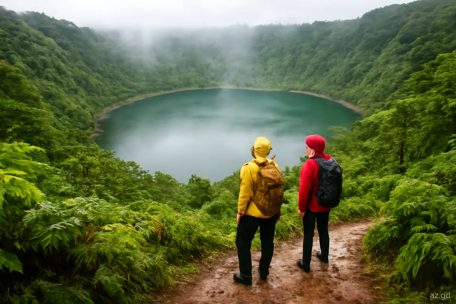
Grand Etang is the green heart of Grenada: a forest reserve straddling the island's central mountains, with a crater lake at its centre and the main road between St George's and Grenville running through it. It is usually the first place people go for rainforest, and for good reason. Within a few minutes of leaving the car you can be under tree ferns and mahogany, listening to frogs and birds, with mist drifting over the ridges.
It is also cooler, wetter and muddier than the coast, which surprises people who arrive in beach clothes. This guide covers how the park is organised, the main trails and how long they take, what the visitor centre offers and the details that make a visit work, from footwear to the time of day.
What Grand Etang is, and where
The park sits in the interior of the island, on the boundary of St Andrew and St George parishes, roughly half an hour's drive up the winding Grand Etang road from St George's. The lake itself fills an old volcanic crater at around 530 metres (some 1,740 feet) above sea level, which is why temperatures are several degrees lower than at Grand Anse and why cloud often sits on the surrounding peaks.
The wider Grand Etang Forest Reserve covers montane rainforest on the slopes, with stunted, moss-covered elfin forest on the highest and most exposed ridges. Much of the forest was badly damaged by Hurricane Ivan in 2004 and has been regrowing since, so in places you will see younger, more open woodland alongside older trees. The reserve also protects important water catchments that supply the south of the island.
The park is managed by the government's Forestry and National Parks Department, which runs the visitor centre and maintains the main trails. Most visitors combine a stop at the lake with Annandale Falls on the way up from St George's or Seven Sisters Falls a short distance along the road towards Grenville.
The visitor centre, fees and facilities
Visitor centre. A small centre by the lake road has displays on the forest and its wildlife and staff who can advise on trail conditions. It has usually opened on weekdays from about 8.30am to 4pm, and on weekends when cruise ships are in port. Hours change, so check before you rely on it, particularly early in the morning or on public holidays.
Entrance fee. A modest fee for visitors has applied, quoted at about US$2 or EC$5 per person. Collection is not always consistent, and fees may be revised, so carry small EC notes.
Facilities. Expect parking, toilets, picnic shelters and viewpoints near the centre, along with vendors selling drinks, snacks and spices on busier days. There is no shop or café deep in the forest, so carry water on any trail.
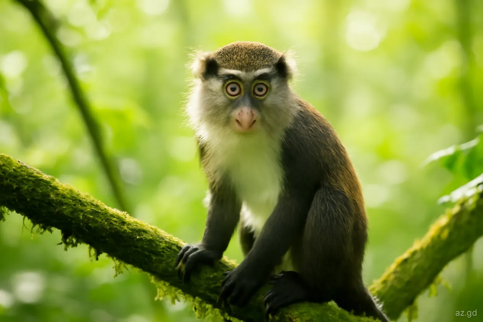
Monkeys. Mona monkeys, introduced from West Africa centuries ago, live in the forest and sometimes appear near the car park and vendor stalls, especially where people have fed them. Watching is fine; feeding them is not, as it changes their behaviour and can lead to bites.
Getting there by bus. Some route buses between St George's and Grenville travel via the Grand Etang road. Ask the conductor at the St George's terminal which bus goes over the mountain, and confirm the timing of a return bus.
The main trails and how long they take
Times below are for reasonably fit walkers in typical conditions. Mud can easily add a third to any of them.
- Morne LaBaye trail. About 200 metres from the visitor centre to a viewpoint over the forest canopy. Around 15 minutes return, easy and suitable for most people, though steps can be slippery.
- Beausejour ridge trail. A short path of a few hundred metres along a ridge crest into elfin forest, with mossy, wind-shaped trees. A good, quick introduction to the high-altitude forest.
- Shoreline trail. A loop of roughly 2 kilometres around the lake. Despite the name it stays mostly in the trees, with glimpses of the water and the Mount Qua Qua ridge. Allow one to two hours. Sections are often muddy and roots are slippery, so it is easy rather than effortless.
- Mount Qua Qua trail. About 3 kilometres each way from the visitor centre to the summit of Mount Qua Qua, one of the peaks that rim the crater. It climbs steadily along a narrow ridge, with steep, muddy sections that sometimes require using your hands. Allow two and a half to three hours return. On a clear day the summit gives views over the lake and towards both coasts; in cloud you may see only the trees around you.
- Longer routes. Trails continuing beyond Mount Qua Qua towards Concord in St John, and other cross-forest routes, are long, poorly marked in places and best done with a guide.
What to wear and bring
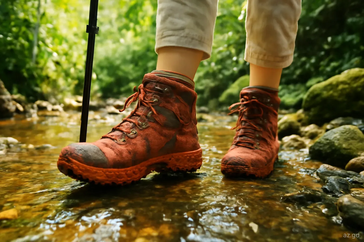
Footwear decides how much you enjoy Grand Etang. The volcanic soil turns to slick clay after rain, and rain is frequent, even in the dry season. Trainers with deep tread or lightweight hiking boots work far better than sandals; on the Mount Qua Qua trail, good grip is essential. Many local guides wear rubber boots for exactly this reason.
Bring a light rain jacket or poncho, a layer for the cooler air if you are prone to feeling cold, and at least a litre of water per person on the longer trails. Insect repellent helps near the lake. A walking stick or pole is useful on steep, muddy descents; vendors and guides sometimes have simple wooden ones.
Keep your phone in a waterproof bag. Mist and showers come and go quickly, and a sunny car park is no guarantee of a dry summit.
If you are visiting from a cruise ship or as part of a longer island tour, ask the driver how much time you will actually have at the park. Twenty minutes is enough for the lake viewpoint and Morne LaBaye, but not for the Shoreline trail, and certainly not for Mount Qua Qua.
Common mistakes at Grand Etang
The park is easy to visit, which is why people underestimate it. Typical errors:
- Setting off up Mount Qua Qua in the afternoon. Cloud tends to build later in the day and the forest gets dark early under the canopy. Start in the morning.
- Walking in flip-flops or smooth-soled shoes and spending the hike sliding.
- Assuming "Shoreline trail" means a flat lakeside promenade.
- Feeding the monkeys or leaving food in open bags at picnic shelters.
- Going off-trail to get closer to the water. The lake edge is soft and the vegetation dense.
- Underestimating the drive. The Grand Etang road is steep with many bends; allow time and use low gears on the descent.
- Trying to do Mount Qua Qua, Seven Sisters and Annandale Falls in one rushed half-day tour.
Combining Grand Etang with other stops
Grand Etang works best as the centre of a half or full day. Coming up from St George's, Annandale Falls is a short detour off the main road and requires almost no walking. Beyond the lake on the way towards Grenville, the trail to Seven Sisters Falls starts from the roadside and takes a couple of hours return with time for a swim.
If you are driving across to the east coast, the road descends through farming villages in St Andrew towards Grenville, the island's second town, with its market and fish landing. You can loop back via the south-east, through St David, or return over the mountain. Bear in mind that after heavy rain, landslips occasionally narrow the Grand Etang road, and works may cause delays.
Frequently asked questions
How much does it cost to enter Grand Etang National Park?
The visitor fee has been quoted at about US$2 or EC$5 per person, collected at the visitor centre. Collection is not always consistent and fees can change, so carry some small EC notes. Guided hikes and longer tours are priced separately by the guide or operator.
How long does the Mount Qua Qua hike take?
Allow around two and a half to three hours return for the roughly 3-kilometre climb from the visitor centre, more if the trail is very muddy. Start in the morning, wear shoes with good grip and carry water. The last section along the ridge is steep and narrow.
Can you swim in Grand Etang Lake?
Swimming is not a normal visitor activity. Access to the water is limited, the edges are soft and overgrown, and the lake is part of a protected area and water catchment. Enjoy it from the viewpoints and trails instead, and save swimming for the waterfalls nearby.
Will you see monkeys at Grand Etang?
Often, but not always. Mona monkeys live in the forest and sometimes come near the car park and vendor stalls. Early mornings and quieter weekdays improve your chances on the trails. Do not feed them, and keep food zipped away in your bag.
Is Grand Etang worth visiting in the rainy season?
Yes, as long as you expect mud and showers. The forest is at its greenest and the waterfalls nearby are fuller. Stick to the shorter trails if the ground is very wet, start early and bring a rain jacket and shoes with deep tread.
Do you need a guide at Grand Etang?
Not for the short trails near the visitor centre or the Shoreline trail, which are marked. A guide is helpful for Mount Qua Qua if you are unsure of your footing, and strongly recommended for longer routes beyond it, which are less clearly marked.