Mount St Catherine is the highest point in Grenada, rising to roughly 840 metres (about 2,750 feet) in the north of the island, above the parish of St Mark, with its slopes running down towards St Andrew and St Patrick. It is generally regarded as the youngest of the island's volcanic centres, and its summit is usually wrapped in cloud. There is no road to the top, no visitor centre and no summit café: just a steep, often muddy forest trail.
That makes it the most demanding of Grenada's popular hikes, and one that rewards preparation. This guide explains the routes, why a guide is the sensible choice for most people, how long to allow, what the conditions are really like and how to judge whether the climb is right for you.
The mountain and the forest reserve
The mountain lies within the Mount St Catherine Forest Reserve, a protected area of rainforest and cloud forest that feeds rivers on both sides of the island, including those that drop over Tufton Hall and other waterfalls in St Mark. Lower slopes are a patchwork of farms, nutmeg and banana plots and secondary forest; higher up, the trees close in, tree ferns become common and the vegetation grows denser and wetter.
Near the summit the forest becomes elfin woodland: short, twisted trees thick with moss, bromeliads and ferns, shaped by constant wind and cloud. On a clear morning the top gives views across the north of the island to the Grenadines and, in good visibility, south over the central mountains. On many days, though, the view is a wall of white, and hikers should go for the experience of the climb rather than a guaranteed panorama.
Mount St Catherine is volcanic in origin but is not considered an active volcano on land. The active volcano in Grenadian waters is Kick 'em Jenny, a submarine volcano off the north coast, which has no bearing on the hike.
The routes up
From the Grenville side (Mount Horne). The route most often used by visitors starts in the hills above Grenville in St Andrew, from the Mount Horne area. The access road turns to rough gravel and becomes steep; many hikers park where the surface deteriorates and walk on, since only a high-clearance four-wheel-drive vehicle should continue. From there farm tracks lead into the forest and the trail proper.
From the west (Tufton Hall). A route from the Tufton Hall area above Victoria in St Mark climbs the western slopes. It is less used, harder to follow and tends to be combined with local knowledge of the river valleys. Treat it as guide-only.
From the north-east. A third approach from the north-eastern side, around Mt Kublal, is also used locally. Like the western route, it is not well marked for independent hikers.
Trail markings. Expect occasional ribbons, cut branches and a worn path rather than consistent waymarks. Junctions with hunters' and farmers' tracks are the main place people go wrong.
Why most people should go with a guide
You will find accounts of people climbing Mount St Catherine on their own, and experienced hikers with good navigation skills sometimes do. For most visitors, though, a guide is the safer and more enjoyable choice. The lower trail passes through farmland with many intersecting tracks, the upper trail can be faint after storms, and fallen trees or landslips change the route. In cloud it is easy to lose your bearings near the top.
A local guide knows which route is in the best condition that season, how long the mud will add and where to turn back if the weather closes in. Many also know the forest plants and their traditional uses, which makes the climb more than an endurance exercise. Guides can also arrange transport to the trailhead, removing the problem of the rough access road.
When booking, choose a guide with a tourism licence or one recommended by the Grenada Tourism Authority, your accommodation or a reputable tour operator. Agree the route, the starting time, the total price and what is included, such as transport, water and a walking stick, before the day. Prices vary considerably by group size and transport, so compare a few.
Is the climb right for you?
Mount St Catherine suits hikers who enjoy the effort itself: steep ground, mud to the ankles, the satisfaction of reaching the top of the country. It is less suited to people who mainly want a view, since cloud often hides it, or to anyone uneasy on slippery descents. Children and teenagers who hike regularly can manage it with a guide; younger children generally find it too long.
If you are unsure, use Mount Qua Qua at Grand Etang as a test. It has a similar character over a shorter distance, with a maintained trail and the visitor centre close by. If you enjoyed it and came down feeling you had energy to spare, Mount St Catherine is a realistic next step.
If your priority is scenery rather than altitude, the falls and forest of Grand Etang, the river walk to Fontainbleau at Concord or a coastal day at Levera may give you more for less effort. There is no shame in choosing them; many residents who hike regularly have never felt the need to stand on the summit.
How the day typically runs
Every guide and route differs, but a typical climb from the Grenville side follows this pattern:
- Leave the south coast very early, ideally before 7am, to reach the trailhead while it is still cool and before cloud builds over the summit.
- Park where the access road becomes too rough and walk through farmland and plantations to the forest edge.
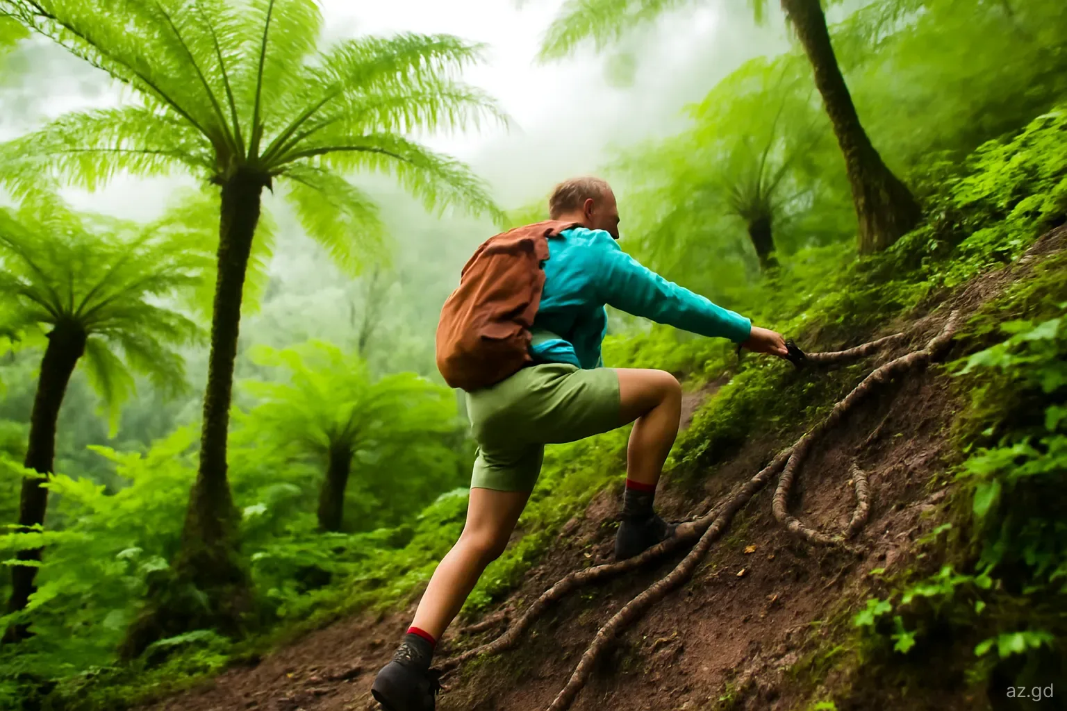
- Climb steadily through rainforest on a path that grows steeper and muddier with height. Expect to use roots and branches as handholds.
- Reach the summit area in elfin forest, typically after two to three hours of climbing from the usual starting point, depending on fitness and conditions.
- Rest, eat and, if the cloud parts, enjoy the view. Do not linger if rain is setting in.
- Descend carefully; most slips and twisted ankles happen on the way down. Allow nearly as long as the climb.
- Plan for a total of four to six hours on foot, plus driving time, and be back at the car with plenty of daylight to spare.
Pitfalls and how to prepare
The mountain is not technical, but small oversights make it much harder. Check these points before you go:
- Fitness. You need to be comfortable with several hours of steep uphill walking and careful descents. If Mount Qua Qua at Grand Etang felt hard, Mount St Catherine will feel harder.
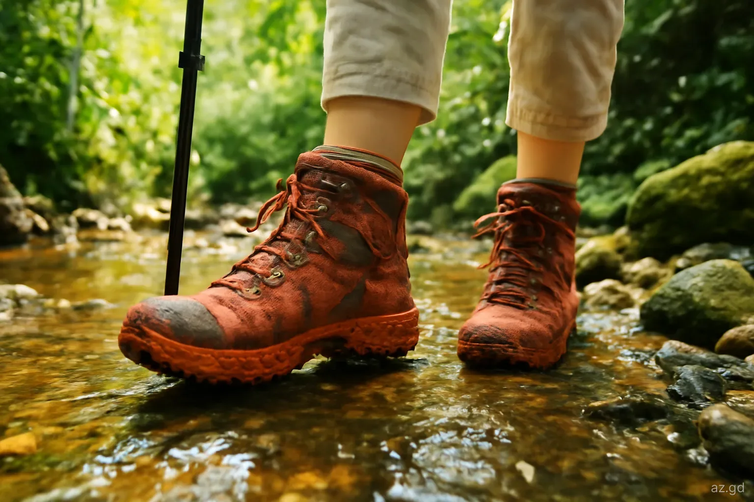
- Footwear. Boots or trail shoes with aggressive tread are essential. Many guides use rubber boots.
- Water and food. Carry at least two litres of water per person and energy food; there is nowhere to buy anything on the mountain.
- Weather. Avoid the day after heavy rain if you can, and do not attempt the climb if a tropical storm is forecast. Streams rise quickly.
- Gloves. Light gardening gloves protect hands when gripping roots and spiny palms.
- Insects. Wasp nests, including the aggressive Jack Spaniard wasp, are sometimes found along forest paths. Move away calmly if disturbed.
- Communication. Tell someone your plan and expected return time. Phone signal is unreliable in the forest. In an emergency, call 911.
Frequently asked questions
How high is Mount St Catherine?
Mount St Catherine reaches roughly 840 metres, or about 2,750 feet, making it the highest point in Grenada. Published figures vary slightly. The summit is in the north of the island within the Mount St Catherine Forest Reserve and is frequently covered in cloud.
How long does it take to climb Mount St Catherine?
Most hikers allow four to six hours return on foot from the usual starting points, depending on fitness, route and how muddy the trail is. Add driving time from the south coast, and start early to give yourself the best chance of a clear summit.
Can you hike Mount St Catherine without a guide?
Experienced hikers with good navigation skills sometimes do, but it is not recommended for most visitors. Trails are poorly marked, farm tracks branch off frequently and cloud near the summit makes route-finding hard. A local guide is safer and also handles transport to the trailhead.
Is Mount St Catherine harder than Mount Qua Qua?
Yes. Both are muddy ridge climbs, but Mount St Catherine is higher, longer and less maintained. If you found Mount Qua Qua at Grand Etang challenging, expect Mount St Catherine to take roughly twice as long and require more scrambling.
What is the best time of year to climb Mount St Catherine?
The dry season, broadly January to May, usually gives firmer trails and a better chance of clear views. It can still rain on the mountain at any time. Avoid the climb after very heavy rain or when a tropical storm is forecast.